Holoog Station and Wargraves - Seeheim
- Seeheim
Holoog Station and Wargraves


Text by Willem Kotze
The diamond rush was one of the main reasons why the building of a rail link to Luderitz became so important. The railway line was further extended as far as Holoog by November 1908, making it possible to transport goods and passengers from South Africa as well.
In 1909 Seeheim North was officially linked to Kalkfontein South (Karasburg today).
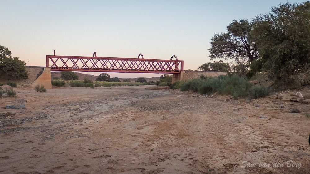
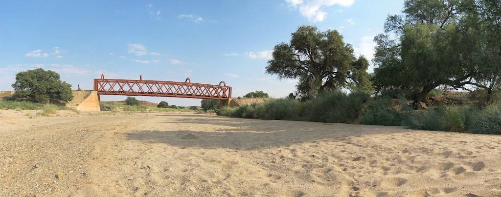
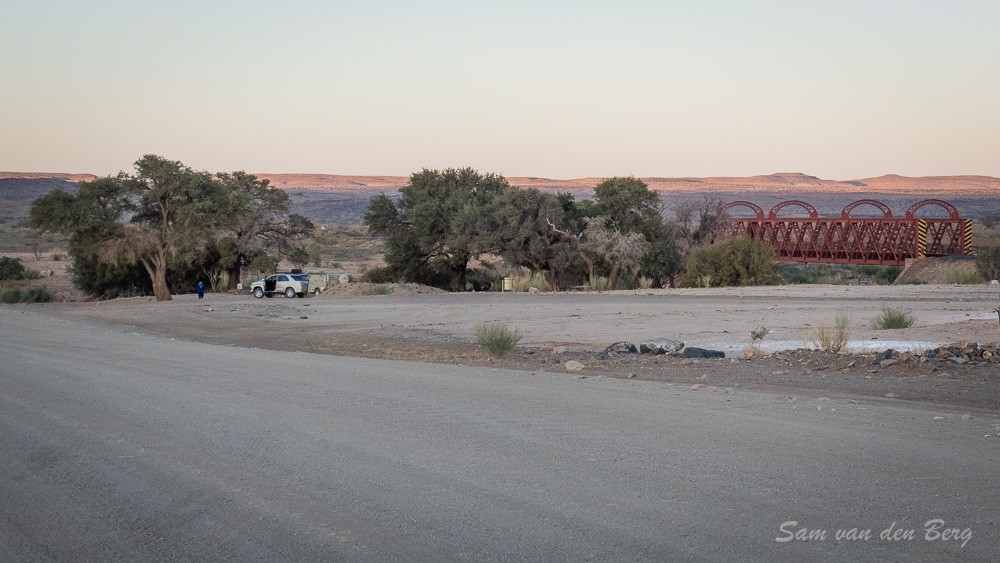
Near the Holoog Station the railwayline crosses the dry !GAB Riverbed over an impressive steel bridge. During floods locals often used this bridge to get to the other side.
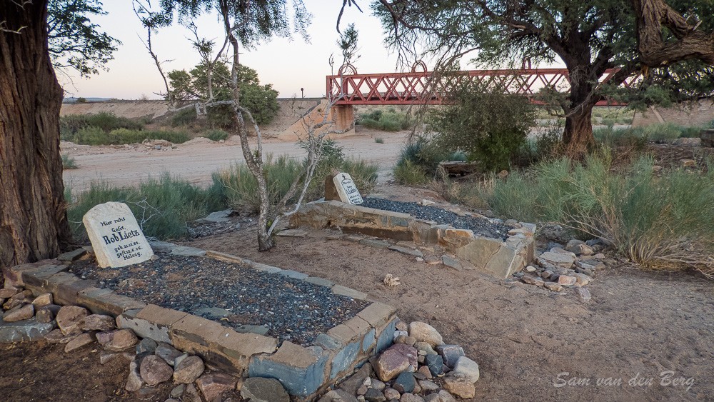
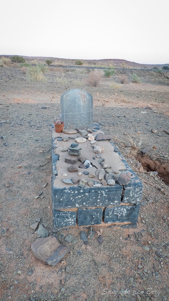
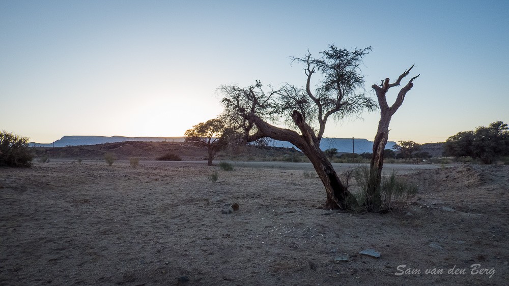
On the bank of the river there are two solitary German Schutztruppe graves with a lony grave of a child on the other side of the river.
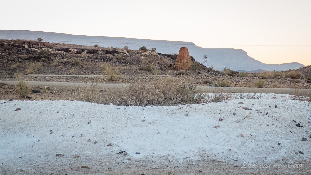
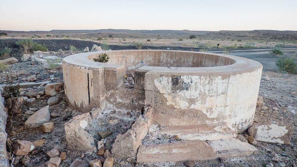
At the station only the base of an old water tower remains. Next to the station is a forgotten heap of hydrated burnt lime ready to load on a train that never came.
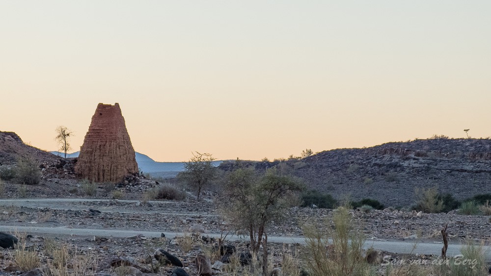
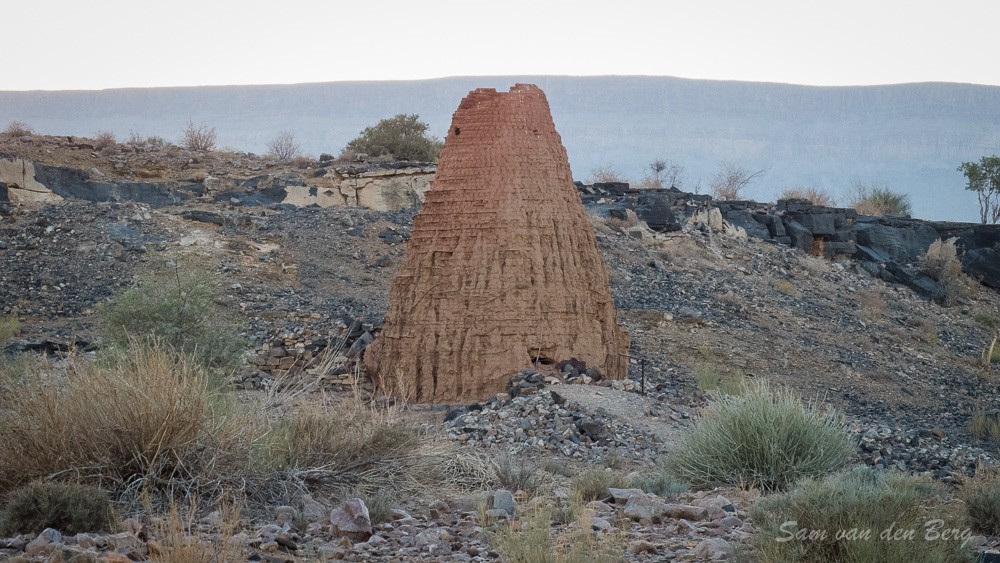
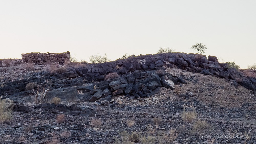
Opposite the road is the remains of a Lime Kiln resembling a giant anthill. Next to it on a hill the remains of an old German fort.
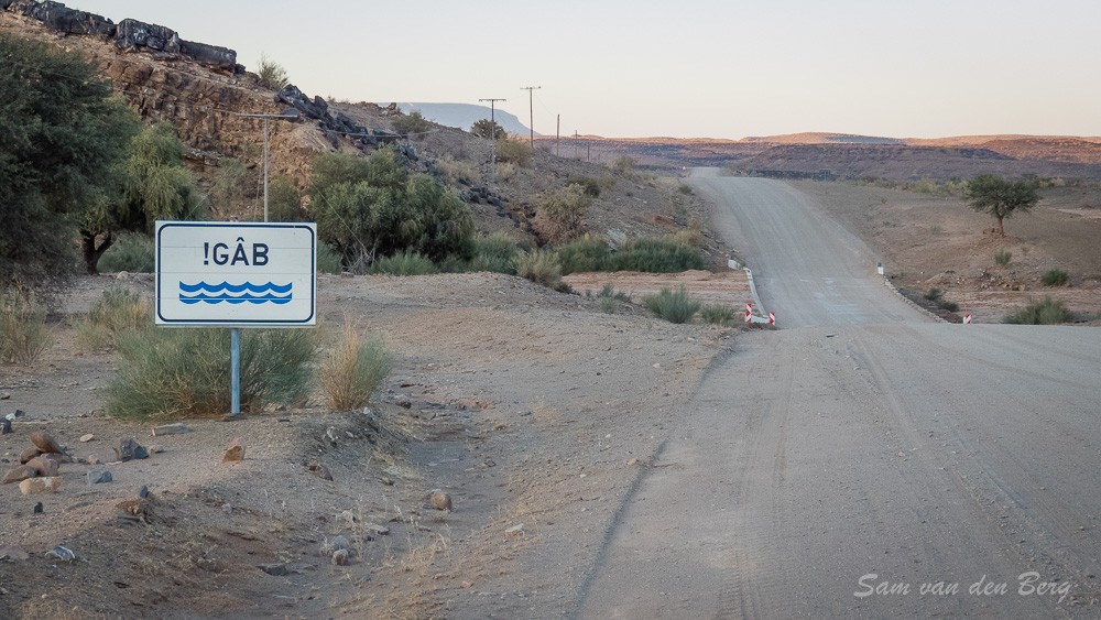
Holoog is located on the Grunau Seeheim Road (M28) 61 Kilometers from Grunau and is quite an interesting stop on your journey.