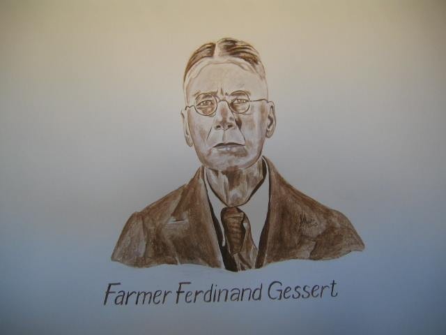
Ferdinand Gessert
Thursday, 25th December 2014
Article compiled by C Plug and published by S2A3 Biographical Database of Southern African Science on their website www.s2a3.org.za/bio/Biograph_final.php?serial=1043 ; Last Updated on 25/12/2014 ; Accessed on 10 July 2018.
Gessert, Mr Ferdinand (meteorology, physical geography)
Born: 12 July 1870, Wuppertal-Elberfeld, Germany.
Died: 5 May 1953, Keetmanshoop, Namibia.
Ferdinand Gessert, a farmer in Namibia, was the son of Wilhelm Theodor Gessert and his wife Maria Frederika, born Schubert. He completed his studies in physics in Berlin before coming to German South West Africa (now Namibia) as a German colonist in 1894. After travelling by ship to Cape Town he proceeded to the territory by ox-waggon and in 1895 bought some 30 000 ha of land (an area he could ride around in a day on horseback) from the Nama chief Paul Fredrik. This farm, which he named Inachab, was situated between the Fish and Konkiep Rivers, some 100 km south-west of present Keetmanshoop. He visited Egypt for a year to study water works there and upon his return started building the first dam in the territory, in the Konkiep River. It was eventually destroyed during the 1934 floods. In 1900 he moved to his second farm, Sandverhaar, just north of Inachab, through which the railway line to Lüderitz was constructed. As a pioneer irrigation and livestock farmer, and from 1921 a karakul farmer, he was quite well-off. He also entered politics, representing the district of Bethanien in the "Landesrat" (National Council).
Gessert read some of the publications of two German scientists, the geographer and climatologist Edouard Bruckner (1862-1927) and the geographer Alexander Supan (1847-1920). Based on their work he believed that most of the rainfall over land represents moisture that has been evaporated from the land itself, and that only the relatively small amount of run-off from a drainage basin to the ocean represents water that has entered the drainage system from outside. Hence by capturing and storing such run-off, he believed, one could increase the total amount of moisture available in and above a drainage area and so increase its rainfall. This theory he applied on his farm. Though it seems naïve today, the belief that the rainfall of a region could be significantly increased by human interventions such as damming up runoff and planting trees was widely held at the time.
Gessert first published some of his ideas in an article, "Der Seewind Deutsch-Südwestafrikas und seine Folgen", in the German journal Globus (1897). He argued that building a dam in the Kunene River to divert its water into the Kalahari would lead to evaporative cooling of the land breezes and increased humidity. That same year he also advocated the construction of large dams, with associated agricultural settlements, in an article in the Deutsche Kolonialzeitung, Beilage. Seven years later he followed up his Kunene proposal with a more specific scheme: "Ueber Rentabilität und Baukosten einer Kunene-ableitung" (On the profitability and construction cost of a Kunene diversion; Globus, 1904). He argued that the interior of southern Africa was drying up; that the water of the upper Kunene River in Angola could be diverted southwards into Etosha Pan in Ovamboland; that the overflow of Etosha Pan could be channeled to Lake Ngami in present Botswana; that irrigation farming could be practiced along the newly created waterways; and that the introduction of the extra water into the interior would increase rainfall in the region. The German authorities rejected his proposal on the grounds that the Kunene River would have to be diverted in Angolan territory, and that the main beneficiaries of the scheme would be the British who controlled the Bechuanaland Protectorate (now Botswana). Gessert promoted his ideas also in articles in the Deutsche Kolonialzeitung (1902, 1903, 1913) and in "Wasserwirtschaftliches im Ambolande und im deutschen Teil der Kalahari" (Water economy in Ovamboland and in the German part of the Kalahari; Globus, 1907). In a letter to the Agricultural Journal of the Cape of Good Hope in 1910 (Vol. 37, pp. 125-126) he confirmed his views that the interior of the sub-continent was drying up and again advocated restoring the lakes of the Kalahari. His proposals were adapted by J.A. van Zyl in 1910 and were probably the origin of E.H.L. Schwarz's* later "Kalahari Sheme".
Gessert also made more conventional contributions to the literature on the physical geography of southern Africa. The region in which he lived was described in "Das Land zwischen Inachab und Bethanien" (Globus, 1900). In his paper on "Akalisalze in DSWA" (Globus, 1905) he reviewed the chemical composition of pan deposits. "Die Tafelberge des Hanami Plateaus" (Globus, 1906) provided a good description of a small area in southern Namibia. In the same year he described "Die Inselberge im Namalande" in the Naturwissenschaftliche Wochenschrift.
List of sources:
Barnard, W.S. "Om de Ngami en Makarikari meren op nieuw te vullen": Die Schwarzplan as dwaling. South African Geographer, 1992, Vol. 19(1/2), pp. 59-75.
Becker, K. & Hecker, J. Vom Schutzgebiet bis Namibia, 1884-1984 (pp. 60-67). Windhoek: Interessengemeinschaft deutschsprachiger Südwester, 1985.
Ferdinand Gessert. Retrieved from http://www.heidermanns.net/gen-pers.php?ID=70641 on 2017-1-12.
Hugo, P.J., Schalk, K.E.L. & Barnes, S.J. Bibliography of South West African/Namibian earth science. Windhoek: Geological Survey, 1983.
Kienetz, A. Nineteenth-century South West Africa as a German settlement colony (pp. 382, 908-910). PhD thesis in social geography, University of Minnesota, 1976. Facsimile by University Microfilms International, Ann Arbor, Michigan, 1977.
Logan, R.F. Bibliography of South West Africa. Geography and related fields. Windhoek: SWA Scientific Society, 1969.
Venter, R.J. Bibliograpy of regional meteorological literature. Vol. 1. Southern Africa, 1486-1948. Pretoria: Weather Bureau, 1949.